Home
Home
-
Magic Box basicsMagic Box toolsStudent engagement
Navigational Compass
The navigational compass can be found in Magic Box's tools  menu and is available in the Windows version of myViewBoard Whiteboard. Teach geographical knowledge and navigational directions and bearings right on the Whiteboard canvas.
This tool can be used on the canvas in Present and Prepare modes.
Add a navigational compass to the canvas
- In the main toolbar, press
 .
. - In the Magic Box window, select
 .
. - Double press
 (or press and drag the icon onto the canvas).
 - The navigational compass will appear on the canvas.
Available actions
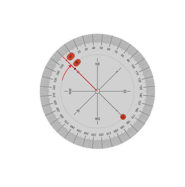
Use the navigational compass to measure angles over 180 degrees while orienting the cardinal directions in your preferred direction. This tool can be used to simulate navigation or chartwork in plotting courses on map.
- Press and drag
.png) to rotate the angle measured. (The angle displayed will adjust as the hand icon is moved.)
to rotate the angle measured. (The angle displayed will adjust as the hand icon is moved.) - Press and drag the inner section (indicated by
 when hovering over with a mouse) to move the tool.
 - Press and drag the middle section with degree numbers (indicated by
 when hovering over with a mouse) to rotate the tool.
 - Press and drag the edge (indicated by
 when hovering over with a mouse) to expand or retract the tool.
 - Press
 to close.
 User resizes, rotates, and moves the navigational compass.
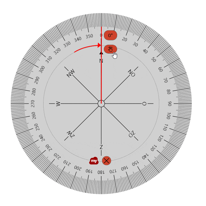 User rotates the degree measurement line along the navigational compass.